Google Maps dominates navigation, but it’s no longer the only smart choice.
Offline reliability, privacy, and cost matter more than ever. Google Maps still requires heavy data, its offline mode is limited to basic driving routes without live traffic, and its recent API pricing overhaul made it more expensive for businesses building on it. Add concerns around battery drain, incomplete rural coverage, and ad-tracking, and it’s clear why users are switching.
Thankfully, Google Maps alternatives have caught up. From fully offline, OpenStreetMap-powered apps to privacy-first navigation and transit-focused planners, there are now free and paid options that beat Google Maps for specific needs. Here are 16 alternatives you can try right away.
Best Google Maps Alternatives
1. Maps.me
Maps.me is built on OpenStreetMap data and trusted by over 140 million travelers worldwide. This is perfect for travelers who want everything offline without paying a cent.
The concept is simple. Download a country or region once while you have Wi-Fi, and you have the entire map on your phone. No data, roaming charges, or stress.
Once downloaded, you get surprisingly detailed turn-by-turn directions for walking, cycling, driving, and even public transit. It also includes offline search, hotel bookings, and points of interest.
The maps are lightweight and fast, even on older phones, which makes it a go-to for backpackers and anyone heading somewhere remote.
Offline: Yes, full country downloads
Pricing: Free
Platform: Android, iOS
2. Organic Maps
If privacy matters to you as much as navigation, this is the one.
Organic Maps was born as the open-source fork of Maps.me, created by the same community of contributors who wanted to keep it truly free. There are no ads, trackers, registration, or data collection of any kind. It never calls home.
What makes it special is how good it is outdoors. You get super detailed hiking and cycling trails, contour lines, hill shading, elevation profiles, and footpaths that Google Maps often misses.
Everything works perfectly offline, from search to navigation, so your location stays on your device.
Offline: Yes, fully offline
Pricing: Free, open-source
Platform: Android, iOS
3. OsmAnd
This is the map for people who find Google Maps too basic outdoors.
Built on OpenStreetMap, OsmAnd reveals details you won’t see elsewhere. This includes tiny walking paths, business types, river flow direction, hill shading, contour lines, and real-time altitude and speed. It’s designed for people who actually read the terrain.
You can switch between seven different map styles including Touring View, Nautical, and Winter and Ski, overlay specialized online tiles, and even search directly with coordinates.
It takes a bit more space because the maps are so detailed, but for hiking and cycling, it’s unmatched.
Offline: Yes, best for trails and topo
Pricing: The free plan comes with seven free map downloads. Pro is $5.99/month and Maps+ costs $14.99/year.
Platform: Android, iOS
4. HERE WeGo
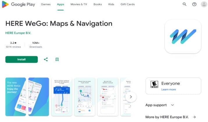
HERE WeGo is ideal if you travel across countries often and hate downloading maps city by city.
It has a clean, minimalist interface with zero clutter. Unlike Google Maps, which makes you download small areas one by one, HERE WeGo lets you download entire countries or territories in one tap. That one feature alone saves hours when you’re planning a multi-country trip.
It also covers more ways to get around than most apps: taxi, car-sharing, bus, subway, train, ferry, and bike routes. You get clear information about parking options, traffic layers, and transit schedules, all in a very straightforward layout.
Offline: Yes, country and continent level
Pricing: Free
Platform: Android, iOS, Web
5. Waze
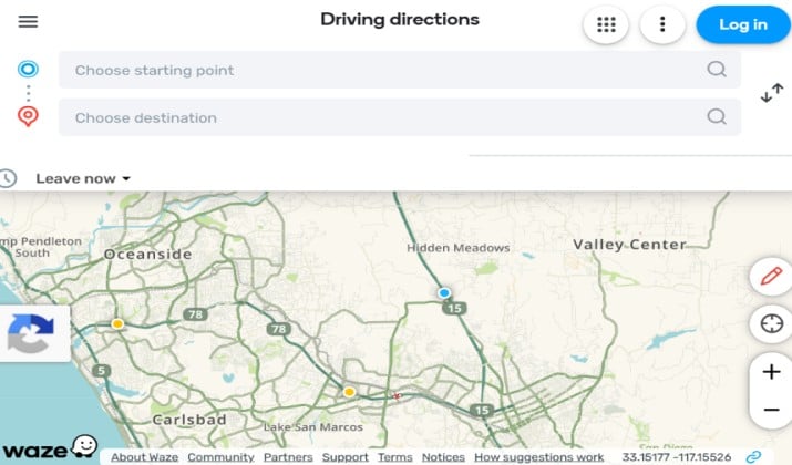
This is best for anyone who drives in traffic every day and wants to avoid it.
Waze is owned by Google but feels completely different because it’s driven by people. More than 140 million drivers, called Wazers, actively report police checkpoints, crashes, construction, road closures, hazards, and speed traps in real time.
If something happens ahead, Waze knows in seconds and automatically re-routes you. The app has a fun, social feel with custom voices and icons, and it integrates directly with Spotify, YouTube Music, and other audio apps so you don’t have to switch screens while driving.
Offline: No. Requires mobile data for live updates
Pricing: Free
Platform: Android, iOS
6. Sygic GPS Navigation
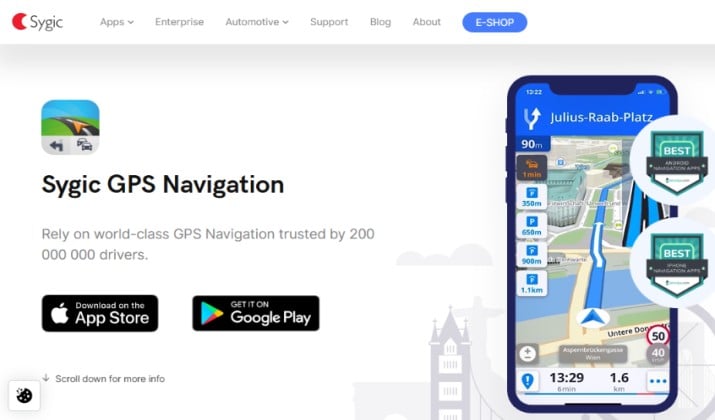
Sygic has been one of the most trusted names in navigation for years, and it shows in the details. It’s best for drivers who want a true premium experience even without internet.
You get clear voice-guided navigation in over 30 languages, beautiful 3D maps, intelligent lane guidance, and realistic junction views that make complex highway exits easy to understand.
What really sets it apart is the driver toolkit. You can drag and drop to edit your route, project directions onto your windshield with Head-up Display, record your drive with the built-in dashcam, and get timely alerts for fixed speed cameras and changing speed limits.
It uses TomTom Traffic data updated every two minutes, and it integrates seamlessly with your car audio, Android Auto, and CarPlay.
Offline: Yes, full offline with premium maps
Pricing: Sygic GPS Navigation offers a free basic version. The Premium+ version costs €11.99/month or €19.99/year.
Platform: Android, iOS
Explore: Bing maps Review
7. TomTom GO Navigation
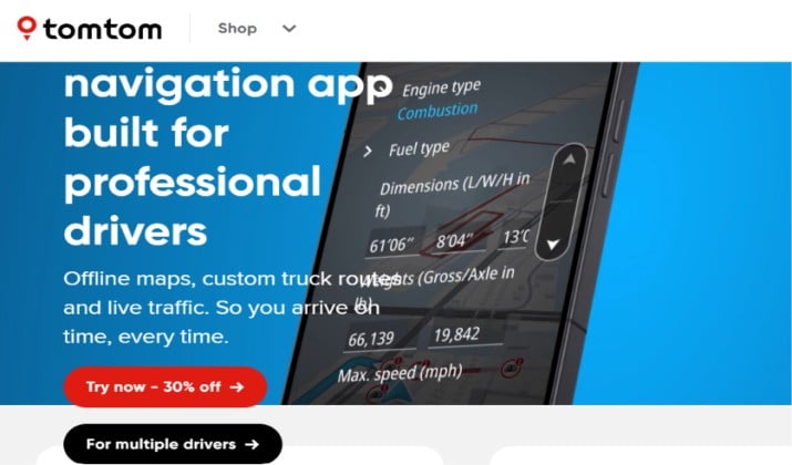
This is best for serious drivers who rely on the most accurate traffic and safety data.
This comes from the same company that supplies maps to major car manufacturers, so the underlying data is incredibly precise. TomTom GO is built around a driver-first design with minimal distractions and crystal-clear lane guidance.
It introduces Maps à la carte, which means you only download the regions you actually need, saving storage space. Maps are updated weekly for speed limits, road closures, and direction changes.
Its traffic engine is one of the strongest available, and its speed camera database, covering both fixed and mobile locations, is considered the most comprehensive in supported regions.
Offline: Yes, offline maps with weekly updates
Pricing: 30-day free trial. Paid plans cost $6.99 to $7.99 per month or around $29.99 per year.
Platform: Android, iOS
8. Magic Earth
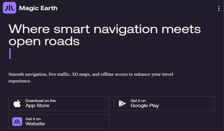
Magic Earth is built on OpenStreetMap and follows a strict privacy principle. It does not collect your personal data, show ads, or require you to create an account to start navigating. Your routes and searches stay on your device.
Beyond privacy, it’s a joy to use daily. It offers natural guidance that uses landmarks and buildings instead of just street names, automatic switching between day and night mode, built-in dashcam recording, speed limit warnings, and rich terrain visualization.
The offline maps are robust, with voice guidance in multiple languages, and it now offers traffic-aware routing as part of its Premium tier.
Offline: Yes, full country offline
Pricing: Freemium. Core navigation free, Premium with traffic $19.99/year after 14-day trial.
Platform: Android, iOS
9. Apple Maps
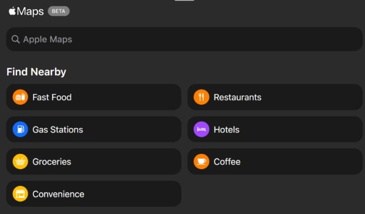
Apple Maps has had a remarkable turnaround since its difficult start in 2012. It now runs on Apple’s own detailed mapping framework in the US and many other regions, offering a deeply integrated experience across iPhone, iPad, Mac, and Apple Watch.
It shines with features like Look Around, which provides stunning photorealistic 3D city views, and highly detailed indoor maps for major airports and shopping centers that show gates, shops, and amenities.
It also includes EV routing with charging station availability, dedicated cycling directions, and immersive AR walking directions. Privacy remains central, with on-device intelligence and random identifiers for searches.
Offline: Yes, offline maps since iOS 17
Pricing: Free
Platform: iOS, Mac
Read this: Get the Most Out of Your Miles: A Comprehensive Review of the Best Mileage Tracker Apps
10. Citymapper
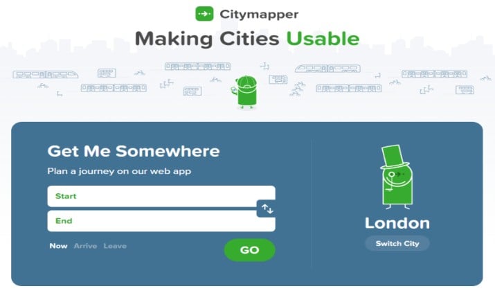
Citymapper was designed in London with public transport at its core, and it excels in over 100 cities including New York, Paris, and Berlin. Instead of giving you just one route, it shows you all the smartest ways to get there on a single screen.
Its multi-mode journey planner combines bus, metro, subway, train, ferry, tram, bike-share, and even Uber.
The GO assistant talks you through the journey with live, step-by-step instructions and “get off now” alerts, plus real-time departure times and disruption warnings so you know if your bus is late before you reach the stop.
Offline: No, needs live transit data
Pricing: Free
Platform: Android, iOS, Web
Check this out: Differences Between Bing Maps and Google Maps
11. Moovit
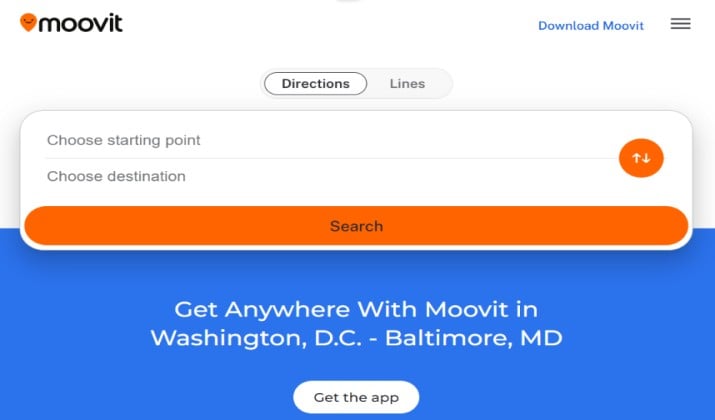
Moovit covers over 3,400 cities across 112 countries, making it one of the most extensive public transportation platforms available.
It blends official transit schedules with crowdsourced information from riders, so you get real-time arrival predictions plus honest reports on how crowded, clean, or delayed a vehicle actually is.
It’s excellent for multimodal trips where you mix buses, trains, subways, ferries, bikes and scooters. Tourists love it for offline transit maps and multilingual support.
And commuters use features like favorite route monitoring, which alerts you to disruptions on your regular commute, and Way Finder AR, which guides you with augmented reality for the walking portions of your journey.
Offline: Limited, offline transit maps available
Pricing: Free with ads
Platform: Android, iOS
12. Mapy.com
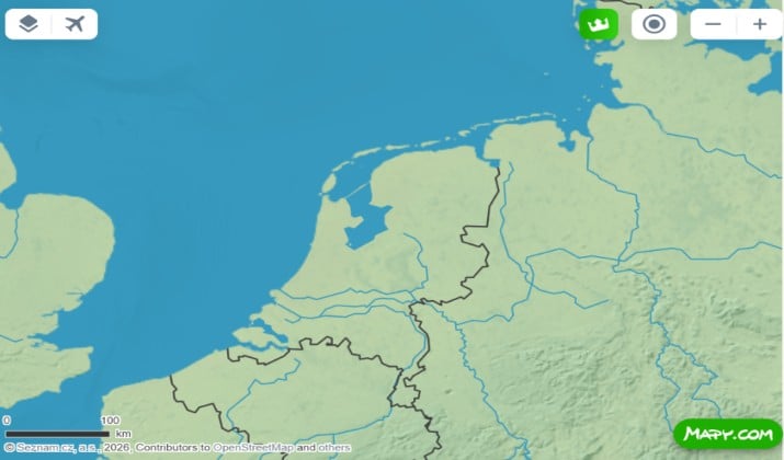
Mapy.com, formerly Mapy.cz, comes from Seznam.cz and is hugely popular with hikers and cyclists.
It arguably has the world’s best trail network for outdoor activities, with marked hiking paths, green cycle routes, winter ski slopes, and incredibly detailed topo maps.
The offline planner is excellent. You can plan a route on your computer, see the full elevation profile, and sync it to your phone.
Once outside, the maps show shelters, springs, viewpoints, and trail junctions that other apps miss. For hiking and mountain biking, it often beats paid apps.
Offline: Yes, full free offline maps
Pricing: Free
Platform: Android, iOS, Web
Also read: A Deep Dive into Apple Maps
13. MapQuest
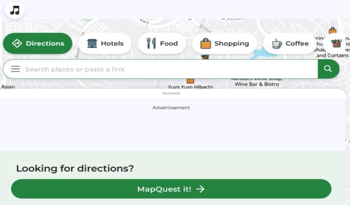
MapQuest is still a solid and familiar name in navigation, both on the web and on mobile. It detects your location via GPS or IP address and delivers reliable turn-by-turn directions with traffic and satellite views.
Where it stands out is in practical road trip planning. The Route Planner lets you add multiple stops, reorder them, and optimize the route, while the unique fuel cost estimator gives you a realistic estimate for the journey.
Combined with share, print, and traffic layers, it remains a strong choice for driving across the US and Canada.
Offline: No, requires internet
Pricing: Free
Platform: Android, iOS, Web
14. Navmii
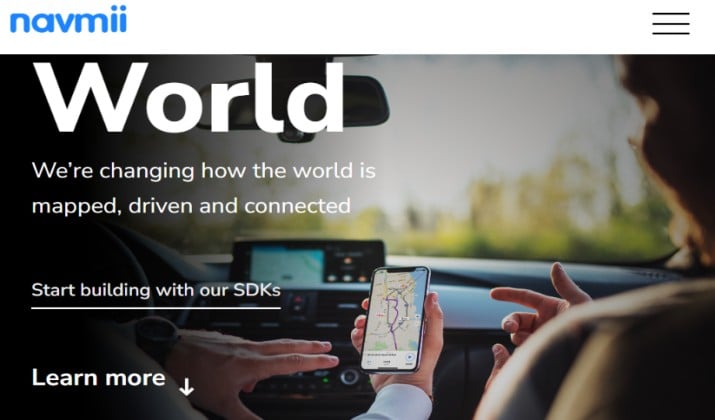
Navmii has a distinctive cartoon-style interface that shows you and other Navmii drivers on the road, which makes driving feel less isolated. It includes TripAdvisor integration, so you get extra context on places along your route.
Underneath the playful design, it’s a capable navigator. You get full offline maps, smart auto-rerouting when traffic conditions change, and community reports on accidents and construction sites.
It’s easy to understand, works well for new drivers, and doesn’t overwhelm you with settings.
Offline: Yes, full offline navigation
Pricing: Free with ads
Platform: Android, iOS
15. Backcountry Navigator
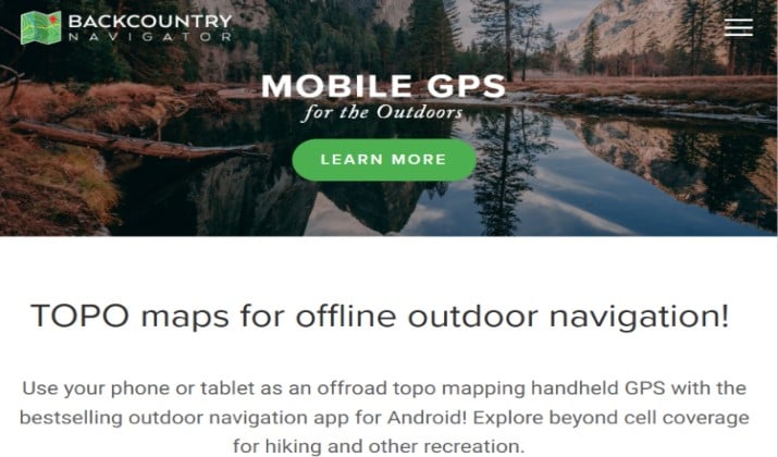
Backcountry Navigator XE is built specifically for off-grid use. It supports an impressive range of map sources including USGS topographic maps, OpenCycleMaps, and high-resolution satellite imagery. You can download them all for offline use.
Its GPS tracking is advanced. The app records elevation profiles, speed, and distance, and lets you create custom waypoints with icons and descriptions for campsites, water sources, or trail junctions.
You can measure distances and areas, plan multi-point routes, and import or export GPX and KML files to share with other apps or devices.
Offline: Yes, essential for no-signal areas
Pricing: Free
Platform: Android, iOS
16. What3Words
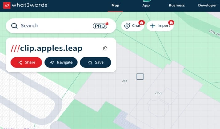
What3Words is not a full navigation app, but a revolutionary addressing system. It divides the entire world into 57 trillion 3-by-3 meter squares, each with a unique three-word address like ///filled.count.soap. That precision solves a real problem in parks, festivals, beaches, and places without formal addresses.
It has been adopted by emergency services worldwide to locate callers faster, and by delivery, logistics, and automotive brands.
Major car manufacturers now let you enter a 3-word address directly into navigation. The app includes error detection to avoid confusion between similar words and works offline once downloaded, making it a powerful layer on top of your main map app.
Offline: Yes, works offline
Pricing: Free
Platform: Android, iOS
Conclusion: Which Google Maps Alternative Should You Choose?
All the apps above beat Google Maps at something, but if you have to pick just one as a true replacement, Organic Maps is the best overall alternative.
It is completely free, has no ads, no tracking, and no account needed, and it works 100% offline. You get detailed hiking and cycling trails, contour lines, and navigation that Google Maps often misses, without draining your battery or selling your location data.
If your main need is daily driving in heavy traffic, pair it with Waze. In case you live on public transit, keep Citymapper handy.
But for a private, reliable, offline map that just works anywhere in the world, Organic Maps is the smartest switch from Google Maps right now.
Enjoyed the post?