Your location history is one of the most revealing datasets you create. Where you sleep, work, worship, and who you visit can all be inferred from it. Most mainstream navigation apps monetize that trail.
Offline navigation apps break that trade-off. You download maps over Wi-Fi once, then navigate using only your phone’s GPS chip. No live location uploads, search queries sent to a server, or ad profile built around your movements. If the internet is off, there is nothing to track.
Here are 15 apps that work fully offline after the initial download.
Best Offline Navigation Apps
1. OsmAnd
OsmAnd is the gold standard for privacy-first power users.
It is fully open-source and built on OpenStreetMap, giving you maps for over 200 countries plus contour lines, slope shading, ski routes, nautical charts, and hiking trails you will never see in Google Maps.
Everything is stored locally. You can navigate in airplane mode, search offline addresses and points of interest, and record GPX tracks that never leave your device.
The interface is dense because it is customizable – you choose which layers, routing profiles, and data overlays you want for driving, cycling, hiking, or public transport.
Privacy is explicit. No account is required, there are no ads, and optional anonymous usage analytics are opt-in and can be disabled completely in settings. The developers publish their data policy publicly.
For most travelers, OsmAnd does more than needed, but if you spend time off-road, overlanding, or want full control over your data, nothing else matches it.
OsmAnd pricing: Free version allows seven map downloads. OsmAnd+ for unlimited map downloads is around $14.99 for annual subscription and $69.99 for one-time purchase.
2. Organic Maps
Organic Maps is what most people should install first. It was created as a clean fork of Maps.me after that app added trackers, and its philosophy is simple: fast, detailed, and private.
The app is tiny, works offline, and feels instant even on older phones. Maps are updated biweekly by the OpenStreetMap community and include hiking paths, bike lanes, elevation profiles, and millions of POIs. Search, routing, and turn-by-turn voice guidance all work without internet.
Privacy is its core feature. There is no registration or data collection involved. Plus, there are no ads or trackers.
It does not even request internet permission unless you are updating maps. That is why it is consistently recommended for travelers and privacy-focused users.
It is not designed for live traffic, which is the price of true offline operation.
Pricing: Completely free and open-source on Android, iOS and F-Droid. No premium tier.
3. CoMaps
CoMaps is the newest name here and the one to watch. It launched on July 3, 2025 as a community-driven fork of Organic Maps, created after concerns about Organic Maps governance.
It keeps the same fast offline engine but restores a fully community-controlled roadmap. Under Apache 2.0 license, development is transparent on GitHub and all decisions are public.
For the user, it feels familiar: offline world maps, cycling routes, hiking trails, contour lines, turn-by-turn voice prompts, all functional without signal.
Where it differs is its stronger stance on data sovereignty. No personal location data is gathered or sent to third parties, even in aggregate.
If you want Organic Maps’ simplicity but prefer a project owned by its community, install CoMaps.
Pricing: Free, open-source, no ads, no in-app purchases.
4. Magic Earth
Magic Earth solves the hardest problem for private maps: how to offer traffic without tracking. Developed in the Netherlands, it uses OpenStreetMap for offline maps and an anonymized crowd system for traffic.
You can download whole countries for offline driving, walking, and cycling. It includes dashcam functionality, speed limit warnings, 3D maps, and excellent pedestrian routing through parks and plazas that car-centric apps miss.
The company is explicit: it does not collect or sell personal data, not even anonymized usage statistics. Because the app is proprietary, that claim relies on trust, but its privacy policy has been independently audited and it is widely cited as the best middle ground for drivers who need traffic.
Pricing: Free. No subscription, supported by the company’s enterprise mapping business.
5. Mapy.com
Formerly Mapy.cz, Mapy.com from Czech search company Seznam.cz is Europe’s favorite outdoor app. It is not fully tracker-free like OsmAnd, but its offline mode is robust and privacy-respecting.
What makes it special is outdoor detail. Winter maps, outdoor maps, aerial imagery, and thousands of green-marked hiking trails with LoPoint guides. The route planner understands forest paths and bike grades better than any general navigation app.
You can download entire countries for offline hiking and biking with hillshading and altitude graphs. Once offline, your searches and routing stay on device.
Mapy.com pricing: Free version with limited offline downloads. Mapy.com Premium with unlimited offline world maps, 3D terrain and advanced planner is about $21.26 per year.
6. HERE WeGo
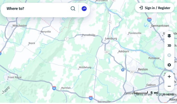
HERE WeGo comes from the mapping company that powers most car dashboards. It offers downloadable maps for over 200 countries with exceptional lane guidance, offline route calculation, and public transit schedules for 1,300+ cities.
Its standout feature is offline multi-modal routing. It calculates optimal routes using road types, speed limits, and historical traffic patterns stored in the map file itself, not from live servers.
Voice guidance references landmarks, not just street names, which helps in unfamiliar cities.
Privacy-wise, it requires a Microsoft account to download maps in some versions, but after that you can switch to offline mode and grant location only when navigating. It is a good balance if you want polish without Google.
Pricing: Free with offline maps. No ads in offline navigation mode.
7. Sygic GPS Navigation
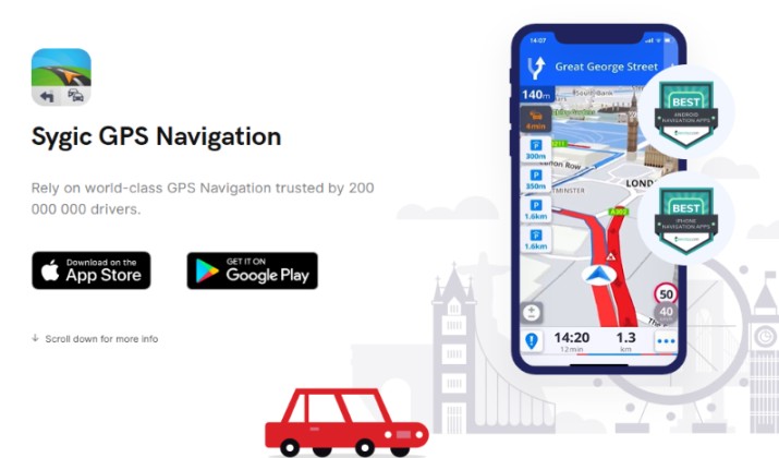
Sygic is the most polished offline driver experience with 200+ million users. It stores professional 3D offline maps from TomTom on your phone, updated monthly for free.
It works as a true offline GPS – turn-by-turn, lane assist, junction view, speed camera alerts, parking suggestions all without data. When you go online, it adds real-time traffic and fuel price data.
Privacy is not absolute because online features use analytics, but core navigation can be used completely offline after you download maps, which significantly reduces exposure compared to online-only apps.
Sygic pricing: Free trial with basic maps. Premium+ with offline maps, monthly updates, traffic and dashcam starts at €19.99 per year.
8. Guru Maps
Previously Galileo Offline Maps, Guru Maps is designed for people who leave the road. Its vector maps are extremely storage-efficient, rendering crisp at any zoom while taking minimal space.
It excels at custom map sources – you can import your own OpenStreetMap renderings, satellite layers, or trail overlays. Elevation contours, trail networks, and off-road tracks are its focus. Track recording works entirely offline, stored locally rather than uploaded to a cloud.
Privacy is handled through a selective permission model. It only asks for sensors and storage when a feature needs them, and clearly tells you which features require internet.
Pricing: Free with limited map downloads. Monthly subscription starts at $2.50 per month. Guru Maps Pro with unlimited downloads, custom waypoints and multi-point routing is about $67.50 one-time purchase.
9. MapFactor Navigator

MapFactor is the classic fully offline truck and car navigator that old GPS users still swear by. Install the app, download free OpenStreetMap maps updated every month, and you never need internet again.
It supports car, truck routing by vehicle dimensions, bus, bicycle and pedestrian profiles. You can search by address, coordinates, or POIs completely offline. The interface is dated but extremely reliable and battery-friendly.
Because it works offline after a one-time ∼100MB install plus maps, it is ideal for regions with poor coverage or for a second device you keep offline.
MapFactor pricing: MapFactor Navigator with OSM maps is free. Version with commercial TomTom maps is a one-time purchase of $20-$40 per region/country group.
10. Pocket Earth

Pocket Earth takes a different business approach that helps privacy. It is pay-once, not ad-supported or subscription-driven, so there is no financial incentive to monetize your data.
It offers detailed vector maps for the entire globe with topographical information, hiking trails, and points of interest.
A highlight is its offline augmented reality. Point your camera at mountains and it labels peaks and landmarks with all processing on-device.
Bookmarks and trip planning are local-only with no account or cloud sync required.
Pricing: Pocket Earth Maps is free to download and use with limited offline features, while full or Pro access requires an in-app purchase or a one-time fee.
Check Out: Best Google Maps Alternatives
11. TomTom GO Navigation
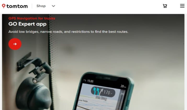
The company that invented car GPS now positions privacy as a feature. TomTom GO lets you download maps for offline use and calculates routes offline with lane guidance and 3D buildings.
Its maps are among the best for road geometry and speed limits, and it includes offline speed camera warnings. When online, it adds HD traffic, but even offline navigation remains premium quality.
The company states your data stays private and navigation is never interrupted by ads or tracking.
Pricing: Free download with 7-day trial. After that about $12.99 per year or $3.99 per month for unlimited offline maps and traffic.
12. Navmii

Navmii is a fully offline-capable app using OpenStreetMap data that has quietly built a loyal base for free driving.
Download a country or state over Wi-Fi and you get door-to-door voice navigation, local search, and speed limits with no signal.
It is simpler than OsmAnd but more modern than MapFactor, with a clean interface and offline postcode search that works well in the US and UK.
It can run fully offline after download and does not require sign-up, which keeps your location history off its servers.
Navmii pricing: Free with ads when online. Premium ad-free offline version is around $4.99 one-time.
13. Avenza Maps

Avenza is different; it is for real paper maps. Instead of one world map, you import geo-referenced PDF maps: US National Park Service maps, USGS topo quads, trail association maps, or your own.
Once imported, your GPS dot moves on that PDF completely offline. You can record tracks, drop waypoints, measure area, and export GPX, all without internet.
This is invaluable where no commercial map is accurate: backcountry, national parks, or work sites. Your location never goes to Avenza unless you opt in to the store.
Avenza Maps pricing: Free for up to 3 maps at a time. Avenza Maps Plus is priced at $34.99/year for one device.
Also Read: Best Waze App Alternatives
14. AlpineQuest Off-Road Explorer
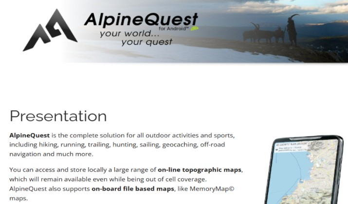
An Android favorite for serious off-road use, AlpineQuest supports a huge range of online and offline map sources and lets you stack them.
On-device hillshading, contour lines, and online explorers for peaks and passes make it powerful. You can download huge areas for true offline use and it handles GPX tracks, waypoints, and bearing navigation flawlessly.
It is completely offline capable with no account and no trackers, built for mountain rescue and field work.
AlpineQuest pricing: Free Lite version. Full version unlock is about €14.99 one-time purchase on Google Play.
15. TrailSense
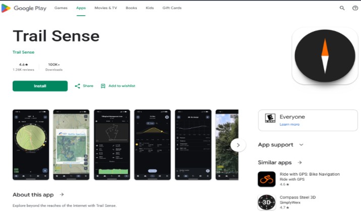
TrailSense is the most radical privacy app on this list. It is open-source and has no internet permission in its code at all – it physically cannot send data.
It is not a traditional turn-by-turn navigator but a wilderness toolkit: compass, barometer, inclinometer, sun and moon position, weather forecast via barometer, and offline maps with beacon and backtrack features.
For privacy purists who want verifiable zero-network operation, or as a backup when everything else fails, it is unmatched.
Pricing: Completely free and open-source, available on F-Droid and Play Store.
Explore: Waze vs Apple Maps
Final Take: Which is The Best Offline Navigation App?
If you have to install just one, install OsmAnd.
It is the only app that gives you true zero-tracking navigation and professional-grade maps for every scenario – driving, cycling, hiking, ski and nautical – with everything stored locally on your device.
It is fully open-source so its privacy claims can be verified, requires no account, has no ads, and works perfectly in airplane mode. You get full control: offline search, offline routing, contour lines, Wikipedia POIs, and GPX tracks that never leave your phone.
For everyday simplicity, CoMaps (or Organic Maps) is the best runner-up: faster, lighter, and 100% private for 90% of trips. But for the best balance of privacy, features, and long-term trust, OsmAnd wins.
Download your maps on Wi-Fi, keep airplane mode on with GPS enabled, and your location stays yours.
Enjoyed the post?